Digital Mapping Initiative in Casablanca
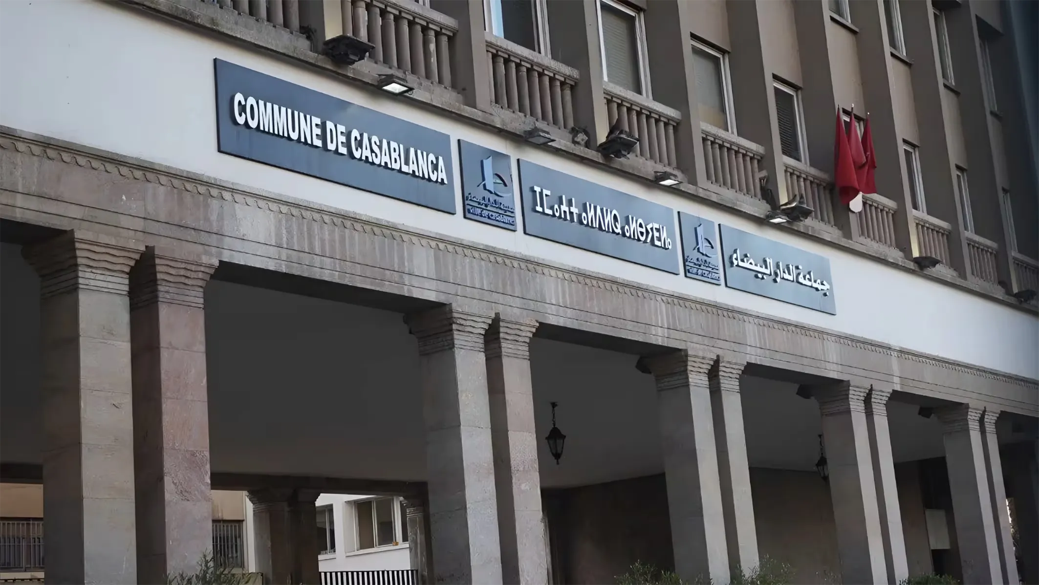
The city of Casablanca, through its local development company Casablanca Mawarid, has embarked on an ambitious project aimed at conducting a thorough survey and digital mapping of all unbuilt plots within its urban perimeter. This initiative, scheduled to span five months, seeks to correct discrepancies in fiscal records, implement the Tax on Unbuilt Land (TTNB), and enhance the land planning framework of the metropolis. According to an article published in Les Inspirations Eco, the project is crucial for addressing the financial and urban planning challenges posed by the presence of significant reserves of undeveloped land within the city.
As reported, the local administration is determined to rectify the inadequacies of the current cadastral databases and review the temporary exemption regimes that have become outdated. The implementation of this geographic digitization and administrative evaluation is essential to ensure accurate fiscal management and reliable data collection. The absence of up-to-date mapping references has previously resulted in lost revenue related to the TTNB, particularly due to exemptions granted during the issuance of building or subdivision permits that lacked subsequent verification.
Phased Approach to Data Collection and Integration
The current operation will systematically confront real-world conditions with official administrative documents. The surveying teams are tasked with identifying each plot, establishing its precise geographical location, collecting ownership information, verifying land titles, and measuring taxable areas in accordance with existing development plans. As outlined by Les Inspirations Eco, the execution of the mission assigned to Casablanca Mawarid is structured around a rigorous technical protocol over the five-month period, designed to culminate in an automated decision-support tool.
The initiative unfolds in three distinct phases. Phase one involves the creation of an execution plan, development of a survey procedures manual, and definition of a conceptual model for geographic data collection. The second phase focuses on fieldwork and geospatial integration, which includes inspecting plots, conducting topographic surveys, verifying land boundaries, and centralizing data with partner administrations such as the Land Conservation Office, Cadastre, Urban Agency, and local municipalities. Finally, phase three will concentrate on fiscal consolidation and integration by cross-referencing the new geospatial data with the existing municipal tax file, calculating the actual financial potential, and deploying a dedicated application for the automated management of the TTNB.
Beyond budgetary adjustments, the information collected will be incorporated into a Geographic Information System (GIS). This database will enable municipal authorities to assess the actual volume of available land within the urban fabric. These indicators will guide policies on urban densification, regulate the development of urban reserves, and support programs aimed at combating substandard housing within the metropolis. By the end of the project, the municipality will have access to a thematic map and a computerized land registry. These tools will facilitate the automation of tax calculations, ensure the rigorous application of regulatory increases or exemptions, and accurately quantify the budgetary leeway of the local government.
As reported by fr.le360.ma.